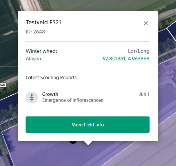
1. Navigate to “fields”. Click on the desired field.
2. Next to this field a window will appear in the map. Click on “More Field Info”

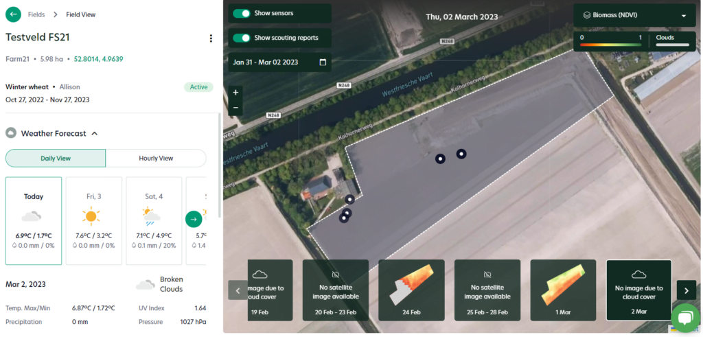
3. A new window opens where you can view the satellite data and the weather forecast.

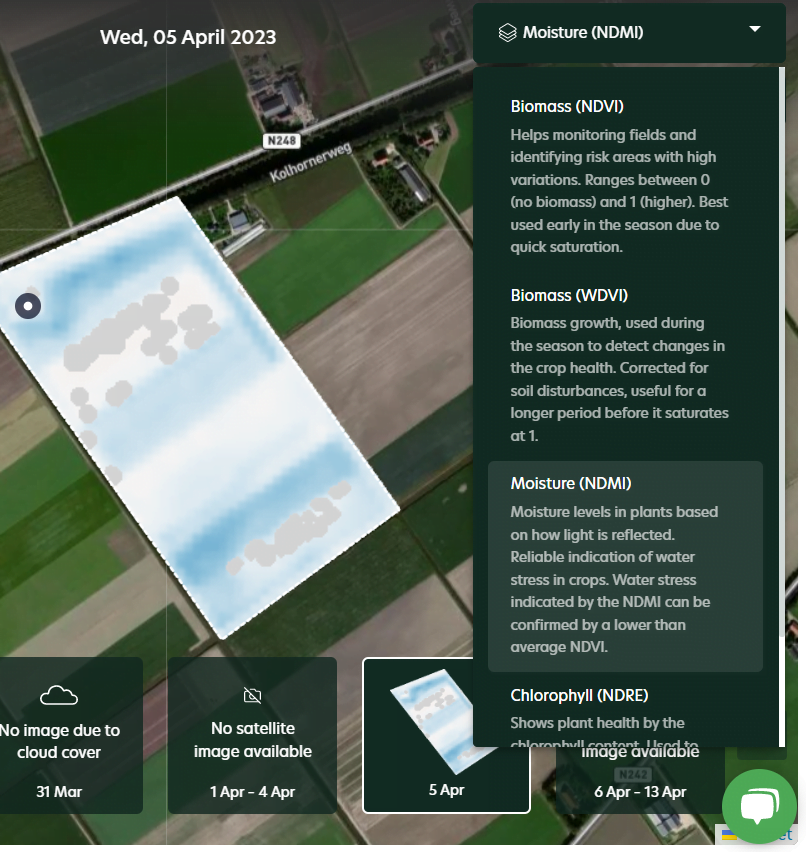
4. In the map there are different satellite levels available for your field. Click on the dropdown in the right corner to change the satellite level to Biomass (NDVI), Biomass (WDVI), Moisture or Chlorophyll.

